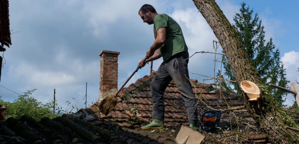
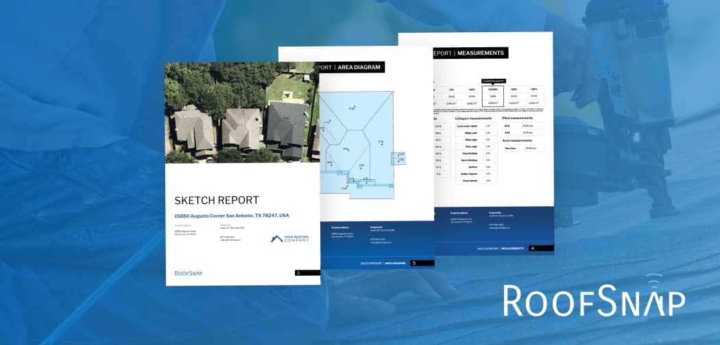
If you’ve been a RoofSnap subscriber or a drone-flying roofing contractor for any amount of time, you know that leaves are one of the few things that stand between you and a clear view of your project’s roof. Besides being a hazard to your drone’s rotors, fully leafed trees can obscure vital portions of the eaves and, in more forested areas, entire homes from satellite and aerial photography.
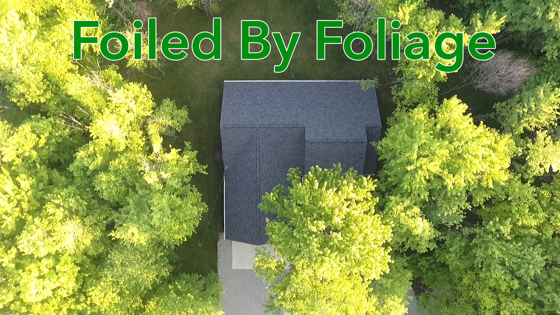
To combat this problem, some providers of aerial photography will do multiple fly-overs at different points in the year in order to provide the all-important “leaf-off” photos that allow accurate measurements to be taken without the green getting in the way. RoofSnap is proud to offer our users high-definition photos from our partners at Nearmap, who often offer up to 6 different fly-over dates of your project so you can always find the perfect photo to measure and estimate from.
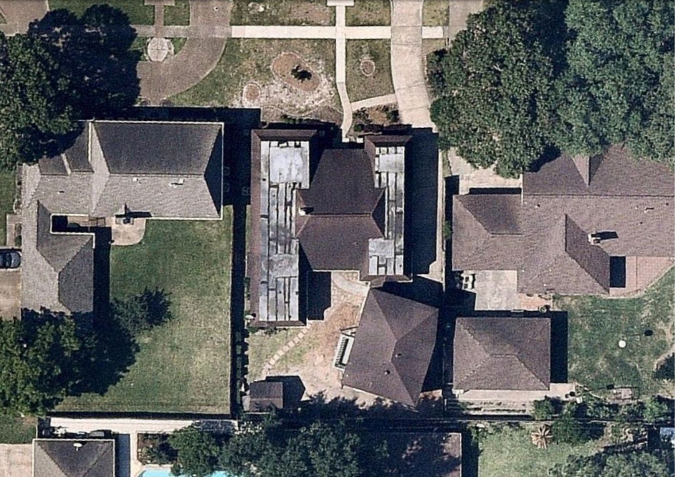
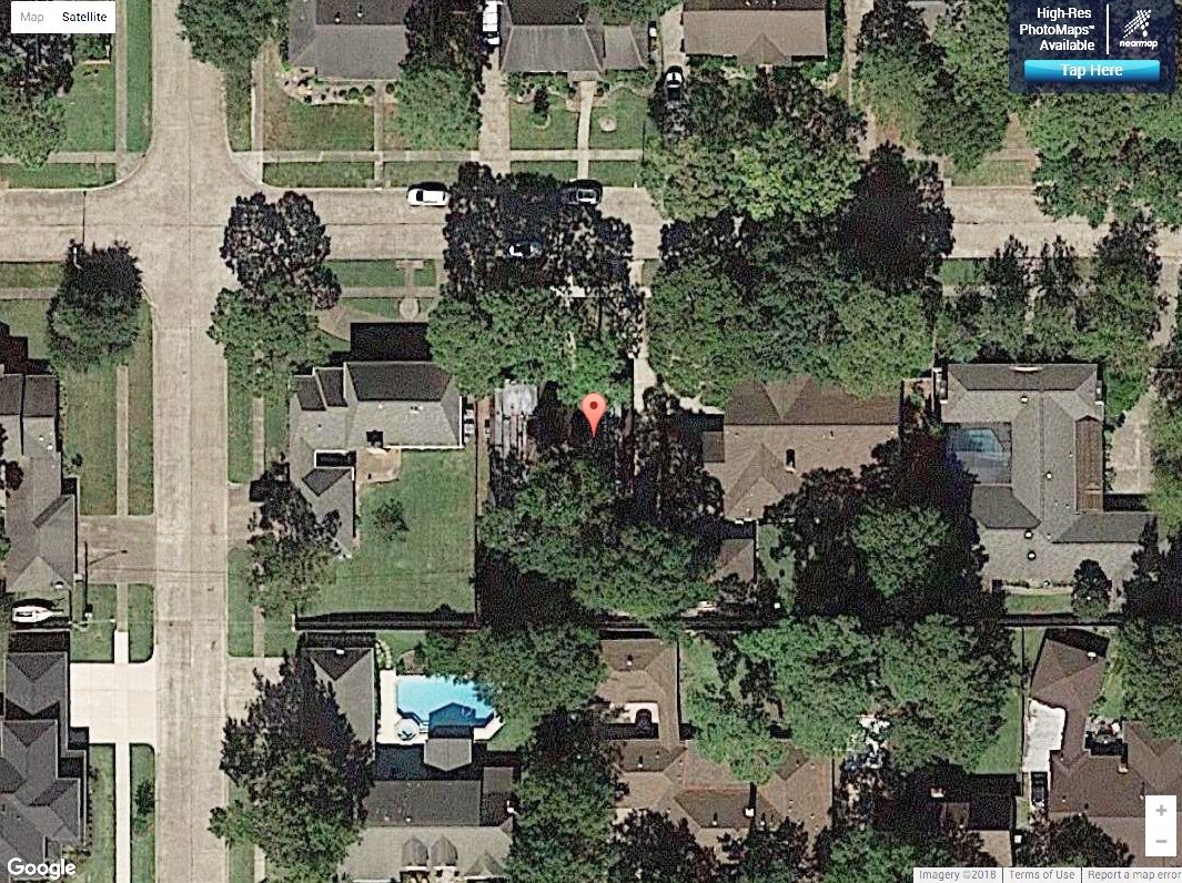
A project address obscured by foliage. The same address with Nearmap imagery.
In the near future, RoofSnap will be changing the way we present our available imagery, allowing our users to see thumbnails of the different fly-over-date Nearmap images before purchase, allowing you to choose the best possible image for your sketching project and ensuring that your measurements are always accurate, no matter how many trees your customer has near their home.
Just another way RoofSnap is minimizing the distance between you and accurate measurements. If you haven’t seen RoofSnap yet, visit www.RoofSnap.com today or schedule a demo to learn more.

