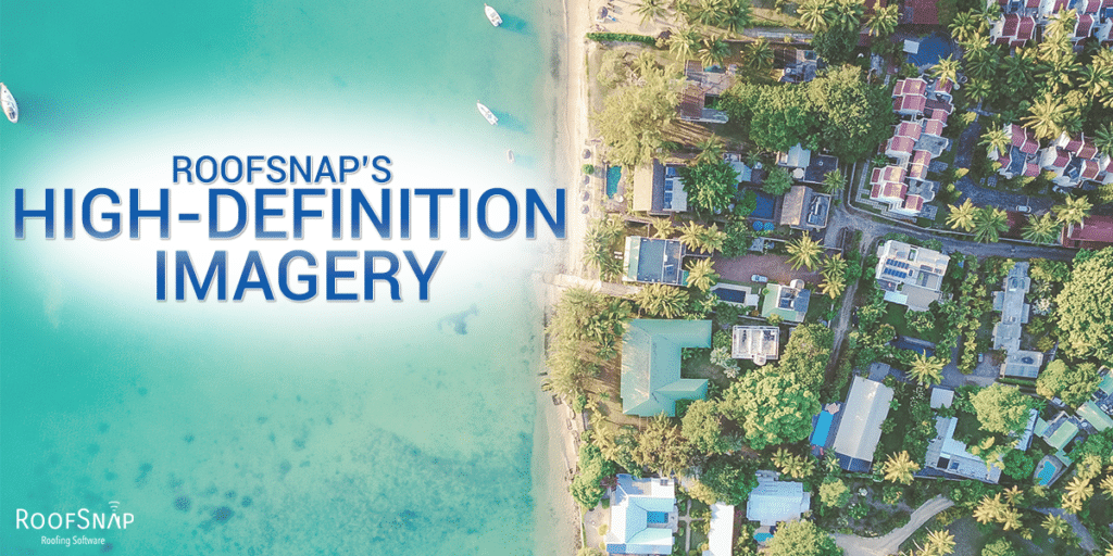
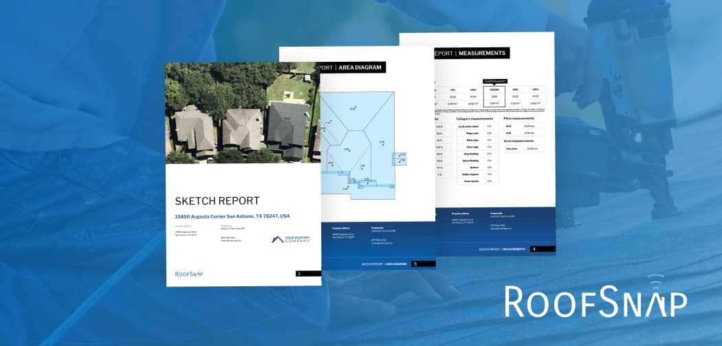
RoofSnap’s High-Definition Imagery

If you’ve used a map software like Google Earth in the last couple of years, you know that they’re not always up to date. When you’re trying to scout a job site or measure a roof remotely, you’re relying on your imagery source to reflect the site’s current conditions. Stale images can leave you with […]
